GPS
Field position
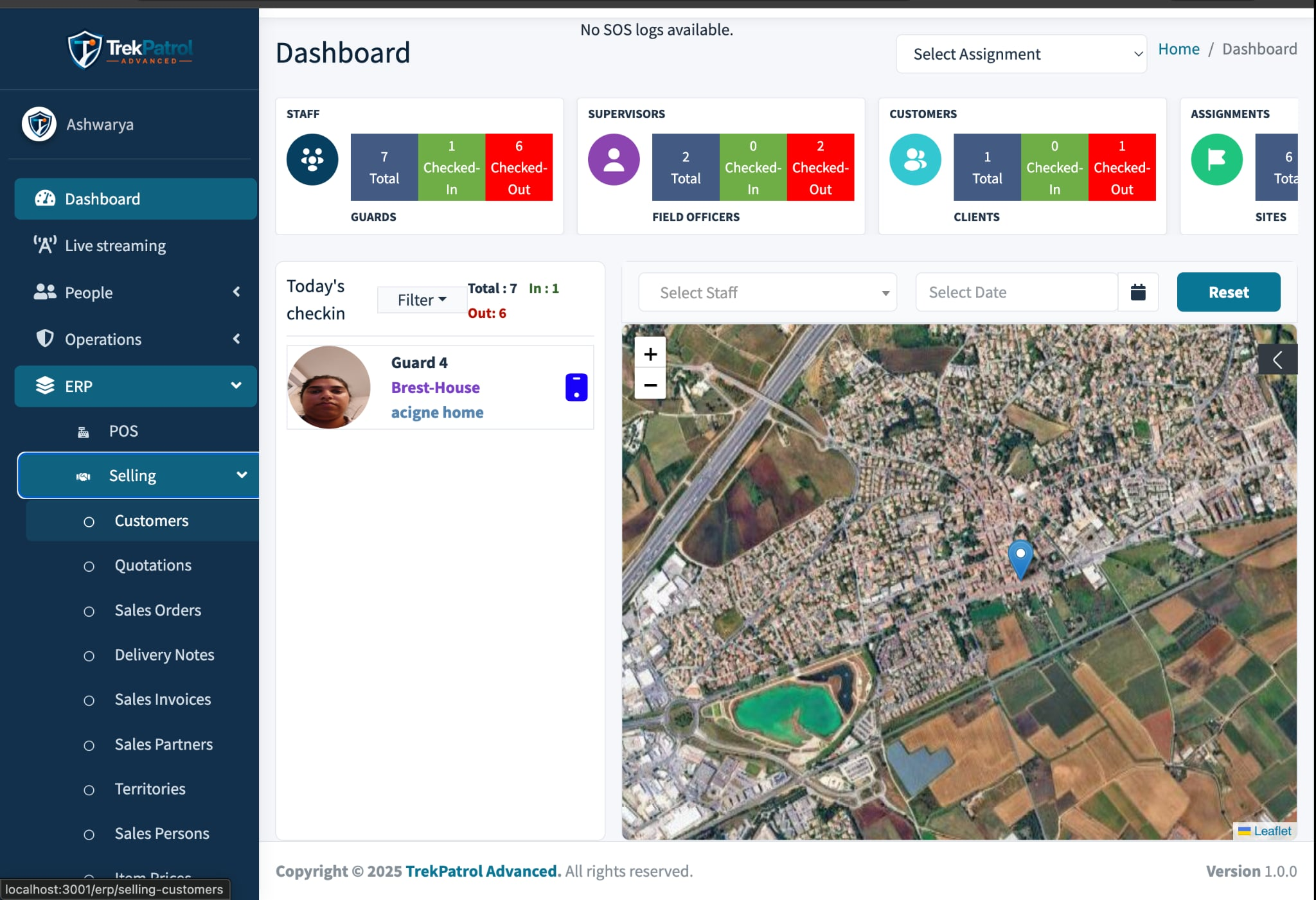
View location according to project rules and permissions.

GPS becomes useful when connected with an assignment, mission, site, checkpoint or event instead of being only a dot on a map.
View location according to project rules and permissions.
Define zones to control selected field actions.
Review movement and associated events over time.
Start with field teams, then connect CRM, sales, POS, ERP and BI through TREKeForce, TrekPOS and TrekConnect. Xtreme Services provides integration and support.
We map location, frequency, permissions, geofencing and data retention around your project.